 |
 |
|
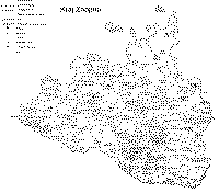
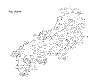
kraj Brněnský |
kraj Znojemský |
kraj Jihlavský |
(podle L. Hosáka: Historický místopis Moravy a Slezska v období feudalismu do roku 1848. Ostrava 1967)
Mapy jsou ve formátu GIF (černobílé), 300 dpi, cca 100 - 150 kB.
Karten sind im GIF Format (Schw. u. W.), 300 dpi, cca 100 - 150 kB jede.
Maps were scanned as GIFs (black and white), 300 dpi, each 100 - 150 kB.
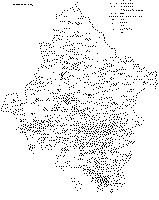
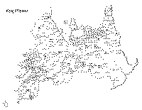
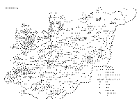
Každá mapa zahrnuje hranice všech panství a statků s jejich sídly, rozlišuje města, městečka a vsi, uvádí katolické a protestantské fary a židovské komunity.
Jede Karte schliesst Gränze aller Herrschaften und Güter mit Ihren Sitzen in jeweiligem Kreis ein, die Siedlungen werden unter Städten, Märkten und Dörfern unterschieden, katholische und evagelische Pfarrämter, sowie auch jüdische Komunitäten werden angeführt.
Each map shows the border of individual dominions and estates with their centers, the communities are distinguished into towns, market towns and villages, catholic and protestant parishes as well as the Juwish communities are shown.
 |
 |
 |
kraj Olomoucký |
kraj Přerovský |
kraj Hradišťský |
1998